Preparing the interactive map
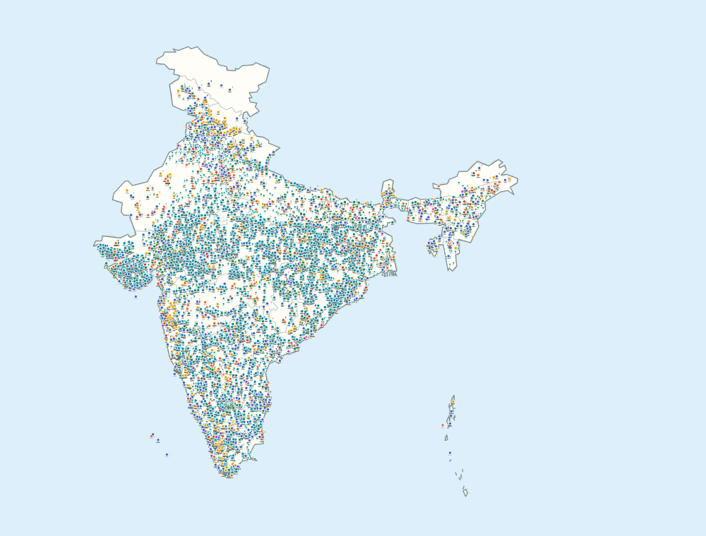
How to read the map
Icon shows categoryThe freestanding pictogram and stable color identify the reviewed project type.

Attached mark shows precisionSolid, double, dotted, tailed, and unresolved marks distinguish supported placement.

Outer halo shows the lensMetric color never replaces category or location precision.

Shared source locationSelect the same marker again to move through records published at one coordinate.
Read the evidence and map methodology Projects·All non-toll project records · Browse the active record layer